Click to download now, finish the installation quickly, and directly unlock the all-round experience
Screenshots
Click to download now, finish the installation quickly, and directly unlock the all-round experience
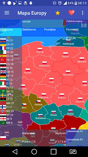
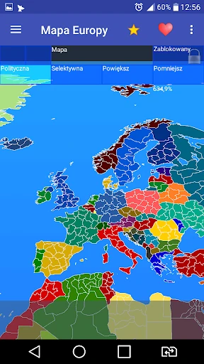
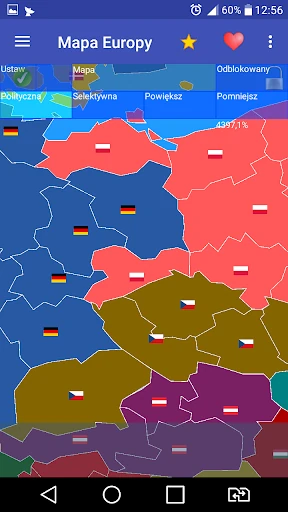
Europe map is an educational mapping app for learners, teachers, and geography enthusiasts who want more detail than a country-by-country atlas provides. It covers more than 800 provinces across 60 countries in Europe, Africa, and Asia, making it useful for reviewing regional boundaries as well as national geography.
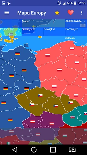
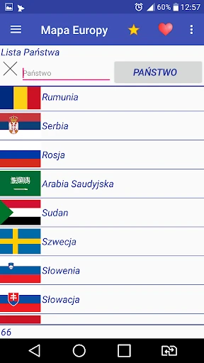
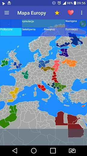
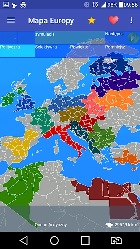
The app lets you inspect provinces, view their associated countries, and use flags to connect territory with national identity. Its map modes include Real for factual reference, Clean for a less cluttered view, and Expansion Simulation for exploring alternative territorial arrangements.
Users can change provincial affiliations and test hypothetical border changes instead of only reading fixed information. That makes the app suitable for informal study, classroom discussion, and anyone interested in borders, regions, or geopolitical scenarios. The broad coverage also gives it value as a reference when national maps are not detailed enough.
Those numbers do not explain every part of the experience, but they do show sustained use beyond a short launch cycle. For an app built around reference and exploration, that continued audience is relevant: the map has remained useful to a substantial group of users over time.